I came back home and got my backpack ready. I didn't want to waste what appears to be the last day of "summer" or perhaps more rightly called the last day of autumn. Today the weather was sunny and temperature around 50 (10C). I took off for the Quality Inn in Brooklyn Center which is the starting place for this walk. I walked in and no one was at the desk but there was a sign directing one to call a certain number on a nearby phone. No one answered. Finally I found a man who appeared to work in the Housekeeping area. He couldn't find the walk box and kept apologizing and saying he was embarrassed because he couldn't help me. I felt so bad -- I asked him please not to feel that way. He disappeared for a bit and came back with a woman who knew exactly where to find the walk box. I found when registering I was #33 for this walk this year.
Shingle Creek is so named because the mouth of it begins at the location of a 19th century shingle mill. My Geographic Names book says it empties into the Mississippi River. I watched it for a bit and thought the current was flowing north, that it wasn't simply a trick of the sunlight on the water. Here I would have been 5-10 miles south of the Mississippi River as it runs basically southeast from Anoka to Minneapolis
I walked out of the Quality Inn and then along a street called Freeway Boulevard. I was facing a what the meteorologists today called a "gusty west wind." I began to wonder if I should have left my jacket in the car -- I was wearing a T-shirt with a flannel shirt over it. But I thought certainly after walking a bit I would certainly generate some "heat."
Soon I was cutting down to a trail that ran underneath a street giving me the first look at Shingle Creek.
Then I walked just a bit further and found myself climbing up on a pedestrian bridge crossing I-694.
At the opposite end there is a circular ramp leading down to ground level. Walking down this ramp I noticed my shadow.
At the end of the circular ramp I walked a few more steps and then crossed a little bridge over the creek. I had entered a city park with tennis courts on my right side and view of the creek on the left. The November light is very good for creating water reflections too.
I found I had to watch carefully where to step on the trail for there was a lot of "pooh" on the trail. Then I found the culprits.
On the creek side I found another view of waterfowl.
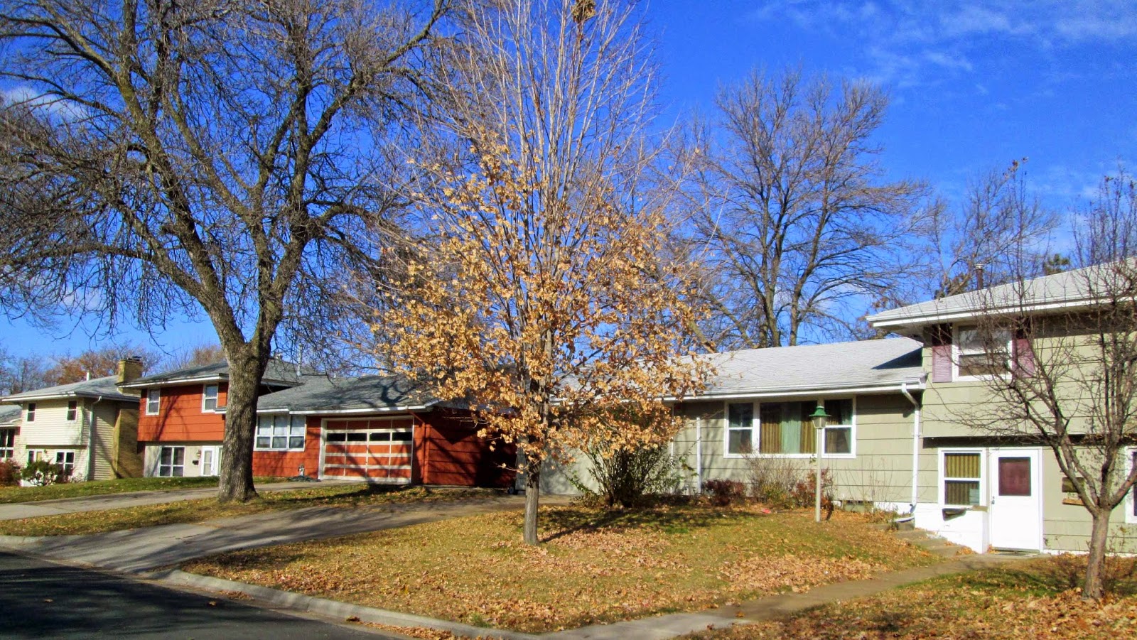
From here most of the walk was through a residential area. Brooklyn Center is a first ring suburb of Minneapolis. It changed from a farming area to a residential area in the 1960s-1970s and most of the housing designs show that time frame. My Geographic Names book explains Brooklyn became attached to this area by settlers who came from Brooklyn, Michigan. That explanation certainly surprised me for I was expecting a connection to Brooklyn NY or even further back to a namesake from Europe.
The walk was relieved by a trip around a pond.
From here I turned back east towards the start/finish location. Again most of this walk was through residential areas. The wind was blowing the dry leaves about. The leaves are now very dry and when they hit the hard surfaces of the street or sidewalk they almost made a metallic noise.
Part of my return allowed me to see a water tower. In the walks this year I have found 9; the book I am keeping requires 20 different ones before I receive the "reward."
When I returned back to the car I drove nearby for a lunch sandwich and then home where I collapsed for a nap.
It was surely a good plan to walk on November 4. November 5 arrived with a temperature of 36 (2C) and rain. Now it will only be the indoor walks for awhile unless there is a surprise weather day coming up.


 I
I


No comments:
Post a Comment