Thursday, October 30, 2014

Walking in Stillwater

On Monday, October 27 another lovely autumn day arrived in Minnesota. So I decided to do the walk in Stillwater, MN. I have done this walk once before but that was before I had the Walking the MN Counties book and so I needed to do it again so I could stamp off Washington County.

Stillwater is located in the St. Croix River. This river marks much of the boundary between Minnesota and Wisconsin. The name, St. Croix, appears to have been placed on the river by a mishap. Late in the 17th century a French explorer died near the mouth of the river and a cross was erected in his honor. Thereafter, people began to refer to the river as the one with the cross -- hence St. Croix.

Stillwater is named for the appearance of the river in this area. Here it is very wide and there appears not to be a current moving the water. However, another source says Stillwater is named after Stillwater, Maine. Lumbermen came from there to Minnesota.

Washington County, logically enough, is named for George Washington. However, I didn't know until browsing through my Minnesota Geographic Names books that when the territory of Minnesota was created it was divided into 9 counties. Each of these counties remains to this day, but each is much, much smaller than its original area.That is one thing I like about doing these walks -- I learn things about the places that I walk. And one really learns about a place by walking rather than driving a car through the area.

The walk in Stillwater begins from the Ann Bean Bed and Breakfast. The walk box is kept on the lovely front porch.

In the next block I also found an interesting house, dating from the 19th century.

 The 19th century money in Stillwater came from the lumbering industry.

A few more steps down the street I came to the original Washington County Courthouse.

After about 5 blocks of walking I came to some homes that were a bit more modest, but clearly 19th century in their design. 

Turning a corner I came to a home that had been built in 1865 by a sea captain, sited where it was and designed with a tower on the top -- all so that he could watch the river traffic.

This home appears to be constructed with stones, but it is a wood house. The lumber has been patterned to appear to be stone.

And what could he see? Here's the view:

From this overlook one walks down about 100 steps to the river valley floor.

The first time I did this walk I was puzzled about the water bottles I noticed along the steps. It turns out that some in Stillwater use the steps for exercise going up and down the steps perhaps 10 times. Particularly on warm days, then, water is placed strategically along the steps.

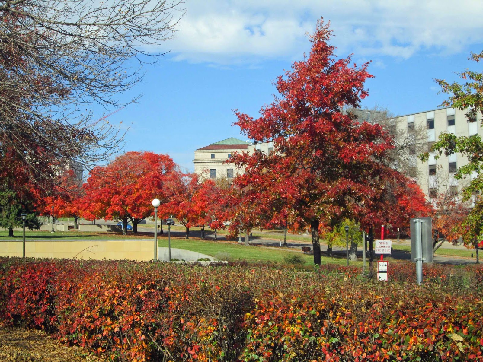
About five minutes of walking brought me to the edge of river and a view of the lift bridge.

I walked to a river side gazebo and sat down for a bit of rest. As I began to walk again I found a monument marking the 1965 flood. This was one of most devastating floods on rivers in the upper Midwest. (The marking on the Mississippi River wall in St. Paul for the 1965 flood leaves one breathless to think the river could have been that high.)

The monument sign by which I was standing explains this is where the river was in 1965 -- a full 19 feet above flood stage. Behind where I was standing a temporary levee was constructed and this protected the business district from the flood waters.

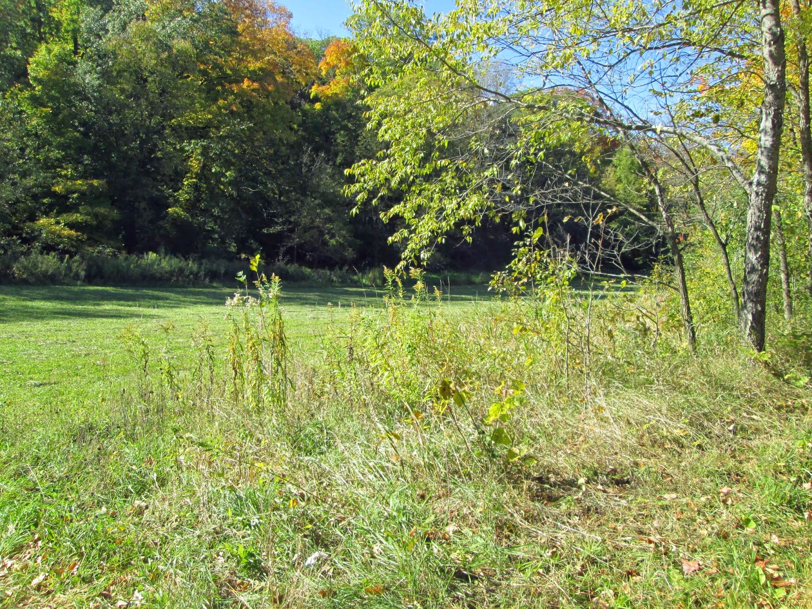
There is a rule in hiking and walking. When one walks down, sooner or later one will have to walk up. The up occurred along 2nd Street on the way to Pioneer Park.


The walk map says to congratulations -- you made it up.

The picture shows my perspective on the lift bridge is entirely different.

From Pioneer Park the walk was through pleasant residential areas. I found one home that was elaborately decorated for Halloween.

 A highlight of this walk is finally getting to a wonderful ice cream shop. But, alas, when I got there I found the sign saying the shop was closed for the season.

So I was back to Ann Bean. The innkeeper was sweeping the porch when I got back and graciously asked me if I had had a nice walk. I thanked them for keeping the walk box.

Then home to find a hair dressing party being put on my granddaughter who lives with me.

Glad to get this walk done and get Washington County marked off. There are plenty of walks I want to do next year so very good to get this one marked off.


Monday, October 27, 2014

Walking in Winona

Last Monday, October 20, I did the walk in Winona MN. This one has been on list for 2 years and it is ending on October 31. I wanted to do this one primarily to be able to mark off Winona County in my Walking the Minnesota Counties book. There are 87 counties in Winona and doing this means I have walked in 33 counties -- so obviously I have a few to go.

Winona is along the Mississippi River so that means it is one of the older cities in Minnesota, since it was founded when the river was the freeway. Winona is located in Winona County.The county was established in 1854 and the city was incorporated in 1857.This is the rare areas where the county capital has the same name as the county.

Winona is named after Winona, a cousin of the last chief of the Winnebago, Wabasha. The Winnebago were moved from Iowa to this area of Minnesota and then to Long Prairie, a place I walked in September and have written about in a previous blog.

First I was going there on another day. But in the morning of that day, I find something wrong with toilet in my apartment and had to wait for the maintenance service to come and fixed it. October 20 seemed to be the wrong day too. I was wide awake until 3:00 AM and then woke up at 7:00. It didn't seem to be a good idea to drive 2 hours on 4 hours of sleep. I went back to bed and woke up at 11:30 or so. I decided to do the walk. So I made a hotel reservation since I had to be in Rochester the next morning and didn't seem like a good idea to drive the same roads twice!

So I got to Winona about 2:00 in the afternoon. The walk started from the Winona Historical Society. This is located in the building that used to be a lumber office.

The tractor below was in the lobby.
The museum looks both beautiful and interesting. I would like to go back another time to see this and another museum in the city.

I walked along the Winona County Courthouse.

When I was out of graduate school I worked 3 months for the Winona County Public Health Nursing Service. Then for 3 years I taught public health nursing for Winona State University and had my students in this building, too.

Soon I was at the foot of the bridge that crosses the Mississippi River. The walk went across this bridge as part of a new Volksmarch program called Crossing Borders.

I didn't know one could walk across the bridge.

Above is a view of the Mississippi from the middle of the bridge.

Here are some house boats too. Winona is noted for these.

I walked to and across the border crossing....

and then turned around and walked back to the city. The scenery is lovely, but there is a huge amount of traffic on the bridge. The next bridge south is for I-90 about 20 miles south and the bridge north is in Wabasha, about equally that far north; thus this bridge carries a lot of traffic.

In the city the walk path took me to the campus of Winona State.


It is so much bigger than when I worked there that I am always lost on the campus. I found the gazebo as directed.

I was amused to find someone using a laptop inside. It was, however, a beautiful day to be outside.

I found this monument.


The sign on the stone below says the name is Symbol of America and is the work of M. Nardini. From here the directions didn't follow the landmarks so I set out to find the place I parked my car.

This is a common view on the west end of Winona. The money here came from the lumber industry. The workers in the lumber industry were Kashubians from Poland. The east side of town has very small houses, but a wonderful decorated Polish church.

However, the steeple below is from another church.

The steeple looked so beautiful against the autumn blue sky.

Found the car and then to a restaurant for a sandwich and then found my hotel. It turned out to be very comfortable and had a nice breakfast in a cheerful breakfast room the next morning.

I drove to Rochester and had a lovely time visiting with some former public health nursing colleagues.

Glad I finally did this walk. Hope you all enjoy the pictures.


Monday, October 20, 2014

An Autumn Afternoon

This has been a colorful and somewhat warm autumn season. On Sunday I thought to take my older daughter with me for a walk at Lake Nokomis. However, when I checked the Volksmarch web site I found that walk has been shut down for 2014. Plan 2 -- just do a walk in the neighborhood.

So we set out from the 11th Street door and walked to Cedar Avenue. Here we got a nice view of the Capitol Building through the arch of the bridge walk.

We headed towards the Capitol boulevard. There we found the Peace Officers Monument. I have driven by this many times, but never before walked to get a good look at it.

Reading a sign by the monument I learned the first officer died in the line of duty in 1882. Signage also explained that the bricks in the plaza stand for the urban areas of Minnesota and the natural areas stand for the rural and nature areas protected by peace officers.

Looking in the opposite direction I spied the double spires of a church.

And all around us are the beautiful trees.

From here we walked to Black Sheep Pizza and enjoyed one of the wonderful creations from this place. Then I buzzed my daughter back to her group home.

A lovely autumn afternoon!

Wednesday, October 15, 2014

Fixing the Street -- at last!

It all started when I heard the continuous beep=beep signal of a vehicle backing up. I looked out the patio window and found at last that 11th Street is being repaired. The previous winter was so hard on streets. It was bump, bump, bump on many of them, and often the way the car handled would make my electronic stabilizer come on.

Above is a video of how this is being done. And it goes quickly.

In less than a minute the equipment had moved forward the width of the gas station. (Note: the large building pictured just a bit in the left of the picture is the Minnesota Revenue Building -- a place all my state taxes end up, and the buildings that occupy most of the background in this picture are those of Region Hospital.)

After the asphalt is laid, a roller comes behind to smooth it down.


This street leads to the entrance ramps for Highway 94 East and Highway 35E North so there is always a lot of traffic about. The process was blocking the cross traffic from Robert Street just below my window. I thought one vehicle had rather an interesting load.

Lately when I drive some of the streets that have already been repaired I feel like I've gotten myself lost. That's how different it seems from the bumpy streets.

Hope you enjoy this little glimpse of life in Saint Paul, Minnesota


Monday, October 13, 2014

New Things on the Street

Perhaps this posting will fit the definition of mundane as promised once in awhile on the heading of this blog. However, I'm anxious to share the new things on the street.

The door of the new building where I live finally has its sign!

And for a long time I had been wondering what was to appear on the corner of 10th and Minnesota Streets. There was a concrete pedestal there that looked like something electrical was to be attached. Then in the past couple of weeks the mystery has been solved with the Spirit of Mississippi.

In the daytime it looks great, but in the evening it is lighted from within and changes from red to blue at intervals.

Here is a close up of one of the panels.

The City of St. Paul built this building, much to criticism. The property was originally to be a high rise condo building, but that idea tanked when the housing recession hit around 2008. The city finally decided to build a market rate apartment building. Then everyone said no one would live here. Well, now the building is 85% occupied within 8 months of its opening.

One part of the ground level is a grocery store. It is very nice to live "over the shop." And we are one block from Light Rail station and one block from a bus stop for numerous bus lines. What's not to like? And I've never posted pictures of the swimming pool and hot tub on the blog, either. That's a great feature, too!

Sunday, October 12, 2014

Motion Poems Adventure

This weekend was a St. Paul Art Crawl weekend, evenings when it is possible to go to many artists' lofts and galleries. One unique feature of the weekend was Motion Poems displayed at Union Depot.

I walked the one block to the 10th Street Light Rail station, saying Hi on the way to the firefighters who were sitting on lawn chairs in the fire house door on this warm autumn evening -- there is a fire station between my building and the Light Rail station, if I haven't written this whole idea clearly.

I rode two stops to the Union Depot station. The idea of Motion Poems is that a short film illustrates the poem. There were five or six poems with the show repeated then about every 30 minutes if one watched all the motion poems. Below is an illustration for a poem about the time the hobos rode the trains. They created signs to mark towns and households, communicating to fellow hobos for example if the household was a good place to ask for food.


When I had enjoyed all the Motion Poems I hopped back on the Light Rail, rode the two stops to 10th Street and quickly walked the one block home. Love the train!!!

Walking at Gale Woods Farm

Thursday, October 9, was a splendid autumn day and I didn't want to waste it. I decided to try the walk at Gale Woods Farm. I really didn't know what this was other than a destination. This was a drive of about 45 minutes from where I live.

Upon arrival I went to the entrance for Educational Center.

Here I found the "walk box" and did my paperwork for this walk. But alas the box was missing the route directions and all I could locate was a sketchy map.

Upon leaving I took time to read a sign near the door and learned that the farm had been donated by the Gale family to serve as an educational and recreational site. It is now part of the Three Rivers Park District.

Opposite the sign by the door is a chicken coop.

 I walked by the barn.

Then I turned left and found a garden, now almost in the dormant stage. however I certainly admired the flower pot man.

At the end of this short trail I came to a locked gate for a pasture so I decided I was on the wrong trail. I backtracked and found the correct trail and started towards Whaletail Lake.

On the way I went past a display about Minnesota's State Soil. This was the first I knew that Minnesota had a state soil -- it's Lester Soil. Click here to learn more about that and even hear a ballad about Lester Soil. The map below shows the distribution of this soil type in Minnesota.

To my right on this trail is a forested hill. To the left --not cornfields this time-- but cattails.

Above is the first glimpse of the lake while walking on this trail. It is called Whaletail Lake. My names book is silent about the origin of the name for this lake, but I'm guessing from the air this lake has the appearance of a whale tail.

Walking out on the dock I found something new to me, perhaps because I'm not an angler.

This tube is for the disposal of fishing line. This prevents unwanted lines from being thrown in the lake where they could provide problems for both animal and plant life.

The view of the lake shore from dock was spectacular.

The map now showed I should back track a bit and then find a trail going off to the left.

Is this it? Without route directions in words I had to guess.

I walked steadily uphill for about five minutes. With that much effort put into the trail I surely hoped it was the right one! I was reassured by some posts with trail markers for the autumn walk. I kept following the trail markers, hoping it was correct, for the shape of the trail didn't match what was on the sketchy map.

The view within the forest was beautiful with the mid-afternoon sun.

Eventually I began to walk downhill and then walked across a meadow.

On the other side of the meadow I found a road and some people running. I turned right, thinking that was the correct direction to reach the farm buildings again. I asked a runner if I was on my way to the buildings and they affirmed my idea.

Soon I walked by a pig yard.

They had had a wonderful time rutting up this field.

And then soon I came to pen by the barn holding sheep and goats.


This one came over to greet me.

Approaching the Education Center I found several school buses and had also seen high school students on the last part of my walk, heading in the opposite direction. They are participants in a program called Junior Afterschool Farmers.

I really enjoyed this walk; it was a great thing to do a lovely autumn day.